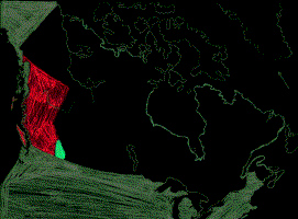

In 1841, Canada was just the union of Lower and Upper Canada, essentially Quebec and Ontario, with the addition of New Brunswick and Nova Scotia it became the Dominion of Canada in 1867.
The confederation of Manitoba, the NorthWest Territories (most of the land having had to be purchased back from The Hudson's Bay Company, including Alberta and Saskatchewan), was added in 1867, British Columbia in 1871, Prince Edward Island in 1873 , with Newfoundland not being added until 1949 completing the Nation of Canada.
Prior to confederation British Columbia had been two colonies, Vancouver Island, (which was originally called Quadra and Vancouver Island) and Mainland British Columbia with the Capital at New Westminster (Old Westminster being in England!). The two colonies were amalgamated into a single province, and, after protests in 1866, Victoria was made the Capital. In 1871, the then 12,000 residents of British Columbia agreed to become part of the Dominion of Canada.
The new Province of British Columbia would send representatives to the federal parliament in Ottawa, and also enact legislation to elect representatives to the Provincial Government in Victoria. Outside of Vancouver and Victoria the province was sparsely populated, and the rural electoral ridings were extensive, one riding covered the whole of the Kootenays. The region was now officially on the map!